Peak 7487 from Colorado Hwy 7, 02/09/2008
About a mile west of Hall Ranch on Colorado Highway 7, we parked next to the highway on an old bridge over the South St. Vrain Creek. We started hiking at 10:10, crossing the bridge, then heading southwest up the slope toward Knob 1. Approximately the first half mile, from the bridge to the beginning of the forest, is densely littered with cow turds -- somewhat unpleasant. Near the end of the meadow, we reached Knob 1 at 10:33.
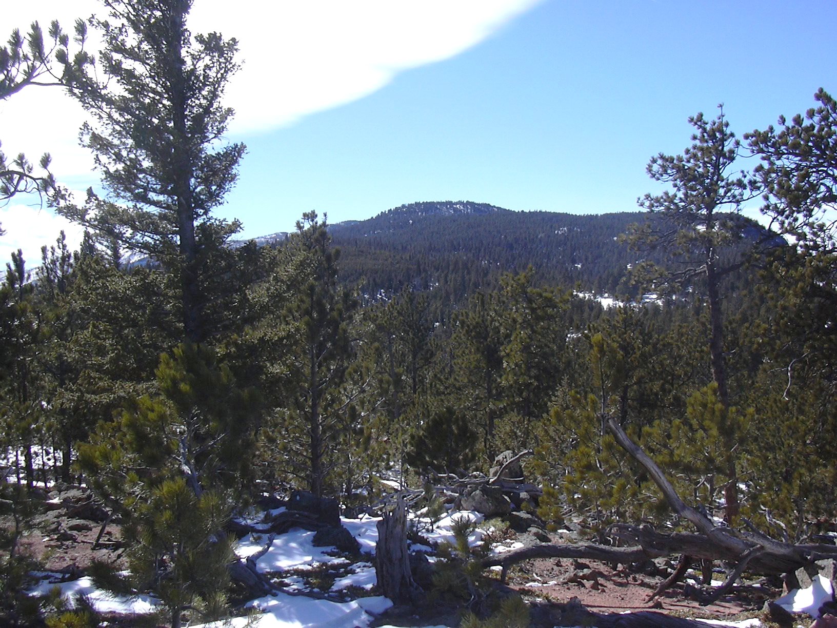
Peak 8315 from Peak 7487, 02/09/08
Our route to Peak 7487, connected the dots from points 1 through 5 on the point list below, which was generally in a southwest/south direction. It is mostly Ponderosa pine forest with some Douglas fir. Between points 1 and 2 there are some nice views of the South St. Vrain Canyon with Highway 7, and Coffintop Mountain. From about point 3 to the summit, the snow became increasingly deeper and slowed us down significantly. Just before point 4, starting at a meadow, there is a quartz vein which extended for at least a few hundred feet along the way we hiked.
We reached the summit of Peak 7487 at 12:07, where the odometer showed 3.14 miles. The summit is marked by a cairn, which Stefan and I placed there two years ago. The area around the summit is somewhat flat, with red sedimentary rocks, and stunted Ponderosa pine, Limber pine, and Douglas fir. There is a nice view of Peak 8315 to the southwest, and also nice views to the west and northwest.
After taking a few pictures on the summit, we soon headed down because the high wind made it less than pleasant. On our return, we didn't follow our tracks back, but made a loop, returning to the east of our incoming path, visiting points 6 and 7 on the list below.
We got back at 14:31, where the odometer showed 6.47 miles. This trip had lots of solitude; we didn't see any other humans the whole day. The only animals we saw were a few deer. The total trip time was 4 hours, 21 minutes, and the elevation difference from lowest to highest was 1,938 feet.
| Place name | Elev [ft] | Accuracy [ft] | Lat/Lon |
|---|---|---|---|
| Parking on bridge at CO Hwy 7 | 5582 | 18 | 40.20387/105.30786 |
| Peak 7487 summit | 7520 | 18 | 40.17161/105.32980 |
| Number | Description | Lat/Lon |
|---|---|---|
| 1 | Knob 1 | 40.1994/105.3173 |
| 2 | Knob 2 | 40.1914/105.3231 |
| 3 | Knob 3 | 40.1857/105.3250 |
| 4 | Ridge Pt 1 | 40.1766/105.3321 |
| 5 | Peak 7487 | 40.1713/105.3297 |
| 6 | Knob 4 | 40.1807/105.3199 |
| 7 | Meadow | 40.1853/105.3147 |