We parked off the side of Hwy 7, where on the other side of the road there are a bunch of mail boxes for residents of the Conifer Hill Rd area. Walking by the mail boxes up the dirt road, we took the first right toward Conifer Hill Rd, which is Spruce Drive, then after about 1/2 mile, left onto FR 186.

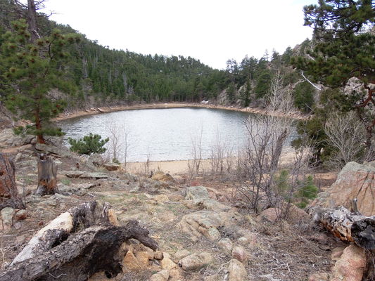
2020-04-11 Unamed Lake 7467 near Dry St Vrain Trail
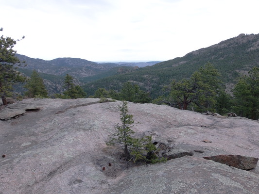
When FR 186 turned sharply left, we departed the road and did some trail less hiking in a general north direction, sometimes following faint forgotten forest roads until eventually ending up crossing Dry St Vrain Creek, where we turned right, followed the creek for awhile, then scrambled up a knob to catch a view. Returning to the creek, we crossed it, and headed up the ridge, mostly without trails, on which a small and beautiful unnamed lake (altitude 7467) sits that we walked around before following a faint trail to the Dry St Vrain Trail and its trailhead. From the trailhead, we headed back to our parking place via the forest road.

2020-04-11 View east from near Dry St Vrain Trail
© 2012-2020 Stefan Hollos and Richard Hollos
Tweet

blog comments powered by Disqus